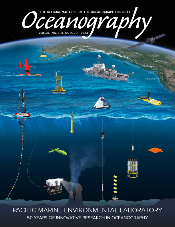
Full Text
Sampling under ice-covered seas, such as the Chukchi and Bering, is difficult. Vessels capable of working in ice are limited, ice destroys surface floats, and ice keels on the shallow Chukchi shelf can extend downward 30 m, confining subsurface moorings to the near bottom. Hence, there is limited data from beneath the ice and in the marginal ice-edge zones. The Innovative Technology for Arctic Exploration (ITAE) program focuses on development of specialized tools tailored to these challenging environmental conditions. In addition, a new data acquisition system will improve transmission of full resolution data in real time. These new technologies are important for the Ecosystems and Fisheries Oceanography Coordinated Investigations (EcoFOCI) program, which maintains NOAA’s largest observing network in the US Arctic (Tabisola et al., 2022).
|
|
Meeting the Challenges Posed by Sea Ice
Pop-up Floats
To obtain time series of bottom conditions through winter and also sample directly under the sea ice, a low-cost moored “pop-up” float was developed (Langis et al., 2018). It is hand-deployed from a ship and consists of a float with a sensor suite, an anchor, and a release. The sensor suite measures water temperature, pressure, photosynthetic active radiation, chlorophyll fluorescence, and tilt, and there is also a camera.
A pop-up float can be deployed from ships of opportunity by personnel with little or no specialized training, and these opportunistic deployments have been key to field testing. The float is designed to sit on the seafloor and record data for a year or longer. At a predetermined time, it releases its anchor and profiles the water column as it ascends. In an ice-covered environment, the float rises through the water column and comes to rest directly under the ice, where it can continue to sample in this unique environment for months. When the ice melts, the float surfaces and transmits its data back to the laboratory. The data collected via these floats have provided information on dense accumulations of ice-associated algae and their fate during ice melt (Stabeno et al., 2020). In the Bering Sea, pop-up floats are being used to increase the spatial coverage of bottom temperature necessary for mapping and modeling the cold pool (Hermann et al., 2023, in this issue).
Measurements from Moorings
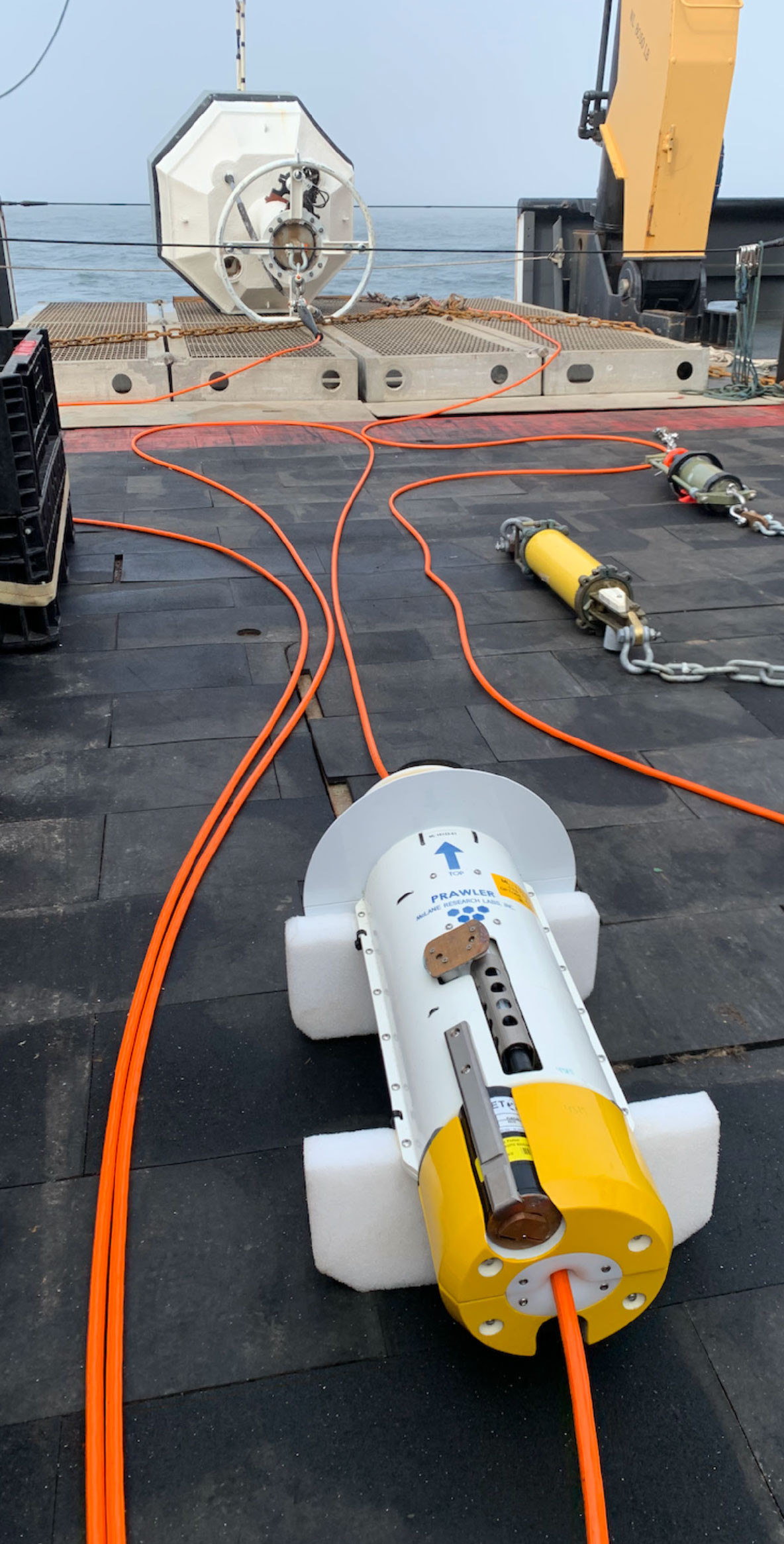
Engineers at the NOAA Pacific Marine Environmental Laboratory (PMEL) developed a profiling crawler (Prawler) system for lab-wide global use. Paired with a surface mooring, the Prawler is a low-cost, wave-powered package that transverses along a mooring wire, collecting data from the surface to a depth of ~500 m (Osse et al., 2015). In the Bering Sea, the Prawler has generated high-resolution profiles of the water column for temperature, salinity, dissolved oxygen, chlorophyll fluorescence, and turbidity. These data are used to provide metrics that are incorporated into Ecosystem Status Reports for the North Pacific Fisheries Management Council. These reports are a source of vital information for managing some of the nation’s largest fisheries.
Over the last several years, PMEL has developed an observing platform—the Refloatable Ice-SEnsing (RISE) float—that enables deployment of the Prawler in ice-dominated regions. The RISE float has two-way communication with the laboratory in order to transmit data collected by the Prawler as it profiles the water column during ice-free conditions. When sea ice arrives, instructions from the lab are given to sink the float. Then, upon ice retreat in spring, it refloats and the profiling resumes. Thus, the RISE mooring samples during the critical and difficult-to-observe spring and fall transitions.
Modernizing Communication
In the spring of 2023, EcoFOCI deployed the third generation of surface float design, the Telemetry, Electronics, and Logging of Oceanographic Sensors (TELOS) system. TELOS interfaces with the atmospheric and oceanic sensors on the moorings, collecting, storing, and transmitting these data in real time via satellite. The first tests of the data acquisition system occurred in 2019 with moorings deployed near Hawai‘i to support PMEL’s Global Tropical Moored Buoy Array and the Ocean Climate Stations programs. In the future, TELOS will be used at mooring M2 on the southeastern Bering Sea shelf, now in its twenty-ninth year, and at other high-latitude surface moorings.
Conclusion
The intra- and inter-lab partnership between EcoFOCI, ITAE, and the PMEL Engineering Development Division are improving NOAA’s observing assets with innovations that will enable better understanding of the rapid changes in the Arctic. The pop-up floats were developed to investigate under-ice productivity, and their use has expanded to include quantifying the seasonal evolution of bottom temperatures and fish habitat in critical areas of the Bering Sea. The Prawler provides high-resolution time series of stratification, air-sea interaction, primary production (Nielsen et al., 2023), and estimates of nutrient injection. TELOS data acquisition technology replaces obsolete components, offers full-resolution transmission of data in real time, and supports a variety of sensors measuring essential ocean variables. Together these innovations and observing assets bring EcoFOCI’s Arctic Observatory into the next generation to provide on demand data, with applicability beyond the US Arctic.